
Applied AI for land development and government affairs.
PermitPortal helps development teams and utilities find viable sites, de-risk entitlement, and break ground on schedule.
Get more sites through entitlement, on schedule.
The expensive surprises in development show up early: a board that will not say yes, a water or power constraint nobody checked, a moratorium that appears after the LOI. PermitPortal finds them before you commit, and keeps watching after you do.
De-risk earlier
See how a jurisdiction has actually voted on projects like yours, and check water, power, and moratorium risk before you sign the LOI.
Entitle faster
Know every approval you need, in what order, with the dates that matter, and walk into every hearing with a briefing book.
Stay ahead once you own
Every ordinance, decision, and moratorium in your jurisdictions is tracked overnight, so you get the schedule impact and what to do about it, not a news alert.
Schedule monitoring.
Agents read every governing body in your jurisdictions each night. When something happens, it is priced against your permit schedule, so you get the new date and the move to make, not a news alert.
Site plan approval slips 10 to 14 weeks. The water service agreement has to be signed before the site plan can be approved, and it now sits behind the basin study. Ask the utility to execute the agreement before the Oct 14 second reading. Commissioner Alvarez voted against the 2025 withdrawal cap; brief her office this week.
Every project, every jurisdiction, one view.
The data engine.
Every governing body, vote, ordinance, parcel, layer, and utility around your project, collected once and read again every night. Hover a node to see what it holds.
The platform, and a team that builds AI workflows around what you need to get done.
The operating layer for land development.
Every project, every jurisdiction, and everything collected around them in one workspace, with AI agents that run the workflows and a data engine that reads the record every night.
Explore the platform →AI workflows, built around your goals.
You bring the goal: ten sites screened before the LOI, a rezoning by spring, every moratorium in a state watched. Our team turns it into an agent workflow on the platform, runs it with you, and tunes it until the output holds up in front of a board.
See the workflows →Measured against the dates you have to hit.
Each workflow has a target: hearings won, weeks recovered, surprises caught before you commit. We review the results with you and rebuild the workflow when the jurisdiction or the project changes.
See schedule monitoring →What we help you get done.
Run every project and jurisdiction from one record.
Your team, your consultants, and your counsel work from the same workspace.
- Projects and portfolio
- Jurisdictions and scores
- Permit schedules
Get diligence and hearing prep in hours, with every claim cited.
Screen a site, run diligence, read a staff report, prepare a hearing.
- Site screening
- Due diligence
- Hearing prep
Walk into the investment committee with the memo already written.
Feasibility, risk, and impact, cited and reviewed by a development professional.
- Site feasibility memo
- Jurisdiction risk assessment
- Schedule impact assessment
Never learn about an ordinance or moratorium after it moved your date.
A brief with the approval that moved, the new date, and the move to make.
- Nightly monitoring
- Analyst briefs
- Hearing prep
Bring the record into your own pipeline tools and models.
Scores, votes, ordinances, hearings, and schedule impacts, as an API.
- Jurisdiction scores
- Ordinances and moratoriums
- Hearings and events
Agents for speed, development professionals for confidence. The agents read, score, and draft. A person who has carried a site through entitlement reviews the output before it reaches you.
Services
Site selection & screening
Off-market parcels screened against power, water, zoning, flood, and habitat, ranked and mapped with owners.
Jurisdiction intelligence
Every governing body scored from its own votes, ordinances, and hearings, and rescored weekly.
Due diligence
One cited report across zoning, entitlements, political, power, water, environmental, traffic, noise, and community.
Entitlement & permit schedule
Every approval to groundbreaking as a schedule with predecessor chains, priced against your dates.
Community & political strategy
Who decides, who opposes, and a briefing book before every hearing.
Monitoring
Every ordinance, decision, and moratorium tracked nightly, with the schedule impact and the recommended move.
AI agent workflows
Every service below runs as a workflow in the AI agents. They plan the work, pull the data, read every document in the project, and deliver the output, with a development professional in the loop.
AI GIS querying
Ask the agents about any parcel or area and it queries thousands of GIS layers, from zoning and flood to wetlands, soils, easements, substations, and transmission, and answers on a map with the source for every layer.
Deep in the asset classes that need a vote to break ground.
The record, the schedule, and the monitoring are the same. What changes is which risks are scored first and which approvals sit on the critical path.
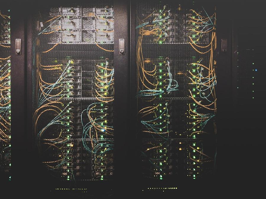
Data centers
Hyperscale, colocation, and edge. Power-first siting, water, and the moratorium wave.

Industrial & logistics
Warehousing, manufacturing, and cold storage. Rezonings, truck traffic, and incentives.

Energy & storage
Solar, storage, and generation. Land control, interconnection, and siting law.

Utilities
Speed to power. Large-load interconnections through the local approvals that gate them.

Mixed-use & master plans
Residential, retail, and planned developments. Variances, development agreements, and public hearings.
Anywhere your capital goes.
Every US jurisdiction is scored today. Outside the US, the same agents read planning records, cadastral data, and infrastructure records wherever the parcel is. Hover a country to see what we can do there.
Common questions.
Do you replace our civil engineer or land use counsel?
No. We do not design, survey, stamp, or file. Your engineer and your counsel work from the same record and schedule you do.
How do we get started?
Book a demo and bring one site. We set it up with you, and you decide from there whether to add the rest of the portfolio.
What happens to our data?
Your sites, schedules, and internal documents stay in your workspace, are never shared with another client, and are never used to train a model.
Start with one site.
Give us one site you are looking at. We will come back with how the jurisdiction scores, what it has approved and denied for projects like yours, and which of your dates are at risk. No commitment.